Rough head hike
Going
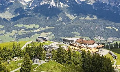
- Starting point: Astberg mountain station
- Pure walking time: 4.5 hours.
- Level: medium
- Strecke: 12.6 km
- Altitude difference: 630 m
Directions
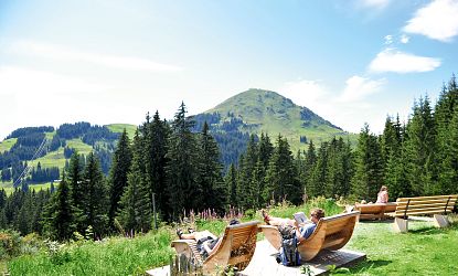
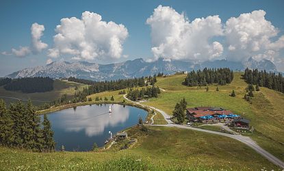
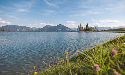
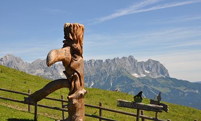
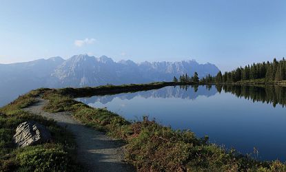
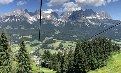
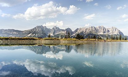
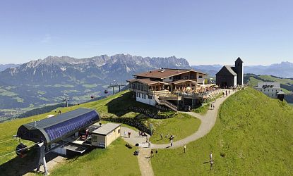
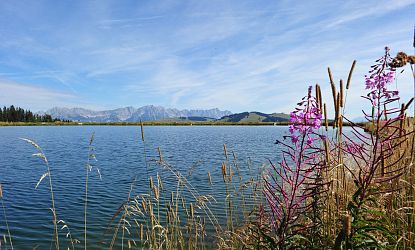
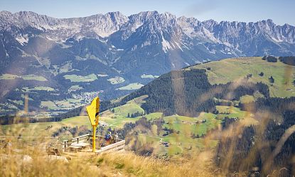
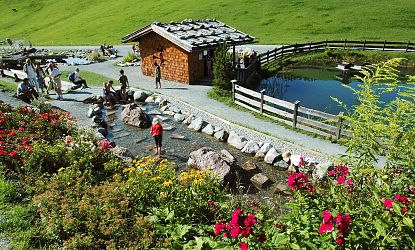
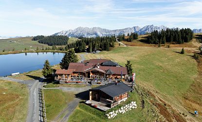
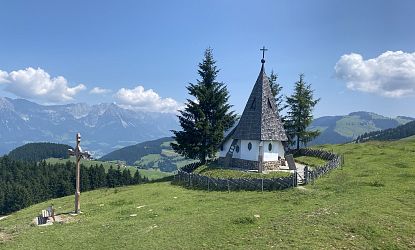
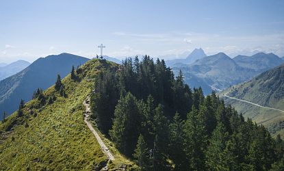
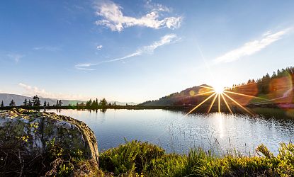
The Astbergbahn cable car takes you comfortably to the starting point of today's hike. Once at the mountain station, we enjoy the tranquillity of the Astbergsee lake and hike past the Pony Alm. Following the signs to Rauher Kopf on hiking trail no. 9, we pass flowering meadows and shady root paths. At the Lierstätt and Greiln crossroads, keep left and walk along the forest path on hiking trail no. 11 towards Hartkaiser. With the massif of the Wilder Kaiser always in sight, you reach the "Am-Kalten-Wasser" crossroads, where you can enjoy a sip of mountain water before climbing uphill through blueberry bushes to the Rauhen Kopf.
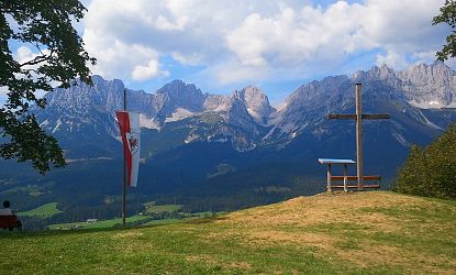
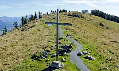
Once you reach the summit, you can take a well-earned rest and enjoy the unique view.
Return along the same path to the Greiln junction, but turn off in the direction of Jezz Alm (formerly Brenner Alm). The Brenner Alm offers a cozy opportunity to stop for a bite to eat. Refreshed, you can either hike back to the starting point via Fortstraße or via the local mountain.
Highlights
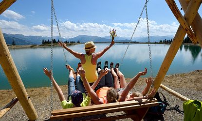
- Astbergsee
- Rauher Kopf summit


