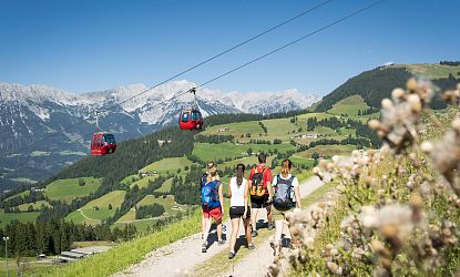
Alpenrosen Trailrun
Trail run in Westendorf
- Starting point: Alpenrosenbahn mountain station
- Length: 14.4 km
- Altitude difference: 573 m uphill | 1026 m downhill
- Highest point: 2032 m
Directions
First take the Alpenrosenbahn to the mountain station and then walk along forest roads and beautiful running trails to the summit of the Brechhorn. There you have a wonderful view to the south, to the Hohe Tauern. We run back on narrow running trails and a short stretch to the Alpenrosensteig - one of the most beautiful running trails in the area.


