Winter hiking trails
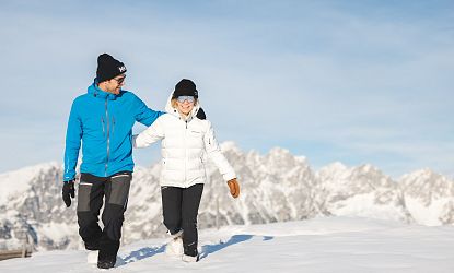
Winter hiking and snowshoeing in the SkiWelt
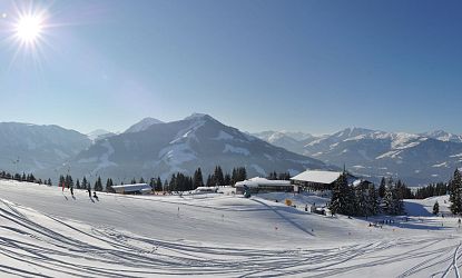
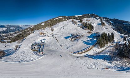
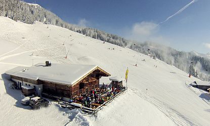
An offer for all winter hikers, connoisseurs and panoramic view lovers. What could be better than looking at the world from above in the wonderfully clear winter air? With just one cable car ticket, winter hikers in the SkiWelt Wilder Kaiser - Brixental have the choice of using 13 panoramic cable cars (KiWest not included). Once at the top, visitors can expect fantastic panoramic views of over 70 three-thousand-metre peaks from the Wilder Kaiser to the Großglockner, various winter hiking trails with 360° panoramic views as well as huts and mountain restaurants that invite you to stop for a bite to eat or to linger on the sun terraces.
Winter hiking trail - Hochbrixen via Nieding
- Starting point: Hochbrixen valley station (no. 1)
- Route: Hochbrixen valley station – mountain road towards Nieding – Restaurant Nieding – mountain road towards Hochbrixen top station/ Zinsbergbahn/ SkiWelt hut
- Length: 5,2 km
- Duration: 2 hours
- Altitude metres: 800 - 1,300 m (500 m uphill)
Winter hiking trail - Ellmi´s Zauberwelt
- Starting point: Hartkaiserbahn mountain station (no. 80)
- Route: Hartkaiserbahn mountain station - via ‘Ellmi's Zauberwelt’ into the enchanted forest
- Length: 1.5 km
- Duration: 30 minutes
- Altitude metres: 50 hm
Winter hiking trail - Hopfgarten mountain station to the valley
- Starting point: Salvenbahn 1 mountain station (no. 20)
- Course: Salvenbahn 1 mountain station into the valley
- Duration: 1 hour 15 minutes
- Elevation metres: from 1,178 to 620 m (558 m downhill)
Winter hiking trail - Salvenbahn to the Salvenalm
- Starting point: Salvenbahn 1 mountain station (no. 20)
- Course: Salvenbahn 1 mountain station to the Salvenalm
- Length: 0.7 km | 30 minutes
- Elevation gain: 72 metres (uphill)
Winter hiking trail - Cross on summit of Brandstadl
- Starting point: Brandstadl cable car mountain station (No. 60 - 62)
- Route: Brandstadlbahnen mountain station - Brandstadl summit cross
- Length: 1.2 km
- Altitude metres: up to 1,600 m
Winter hiking trail - Söll mountain station to Salvenmoos inn (Söll)
- Starting point: Hexenwasser mountain station (no. 40)
- Route: Hexenwasser mountain station - Gasthof Salvenmoos
- Length: 500 metres
- Altitude metres: from 1,150 to 1,250 m (100 m uphill)
Winter hiking trail - Söll valley via Salvenmoos
- Starting point: Hexenwasser mountain station (no. 40)
- Route: Hexenwasser mountain station via Gasthof Salvenmoos into the valley
- Length: 3 km
- Elevation gain: from 1,150 to 700 metres (450 metres downhill)
Winter hiking trail - Salvenmooser Kogel (Söll)
- Starting point: Hexenwasser mountain station (no. 40)
- Route: Hexenwasser mountain station - around the ‘Kogl’
- Length: 3.2 km
- Elevation gain: from 1,150 to 1,250 metres (100 metres uphill)


